These guys are hiking with no guidebook, no map. They have no idea how far it is to the next water source, shelter, or town. Every time we see them, they ask a question about Milage.
We started the day with a steady uphill, then downhill, then across a gravel road. And then we started up Stratton Mountain- our first 4000 footer! It was pretty gradual- much more gradual than the elevation map suggested. On top, we found ourselves in a cloud bank. We had a snack and made phone calls, since e had cell coverage, but skipped climbing the fire tower because of the poor visibility.
Then we started downhill- again, more gradual than we expected. It started drizzling- we put on our pack covers, but skipped the rain gear. Lots of easy, fast terrain. A few rocks, but mainly that forest path I like so much.
At our last food break of the day, it stArted to rAin. We banged out the last 3 miles to the next shelter pretty quick, arriving around 3.
Three is pretty early to end the day, but now that there are SOBOs on the trail, shelters are filling up faster. We decided it was better to stop here.
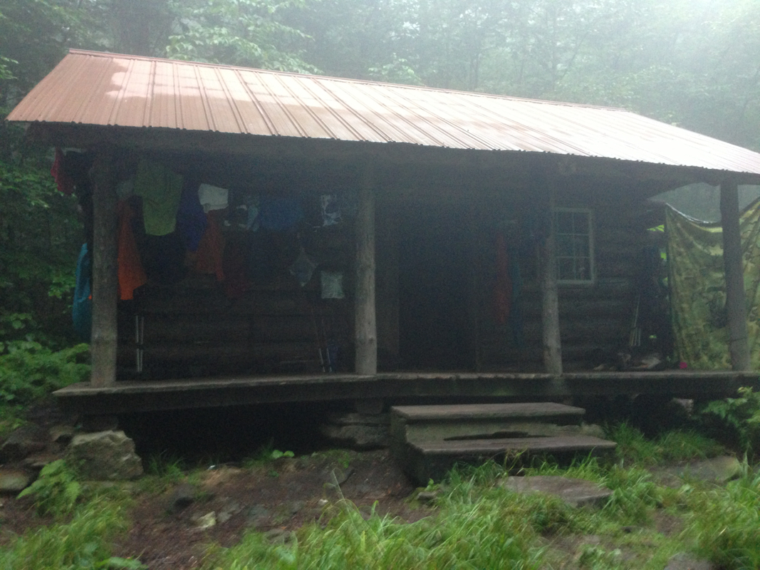
Different shelter- 4 walls, a door, windows. More like a cabin, really.
Early nite preparing for an early start.

 RSS Feed
