Wouldn't it be nice if we all had crystal balls that would allow us to make our decisions based on hindsight? So many mistakes we could have avoided. So many choices that we could have made differently. Though I still haven't found the amazing tool to see into the future, I do have a unique opportunity before me now. After hiking over 1800 miles on the PCT, I ended up exiting due to fires and trail closures. When I go back to finish the remaining 800 miles, I'll be doing so seeing through the perspective of experience. And there are many things I will change:
1) I WILL NOT STRESS OVER MY BASE WEIGHT
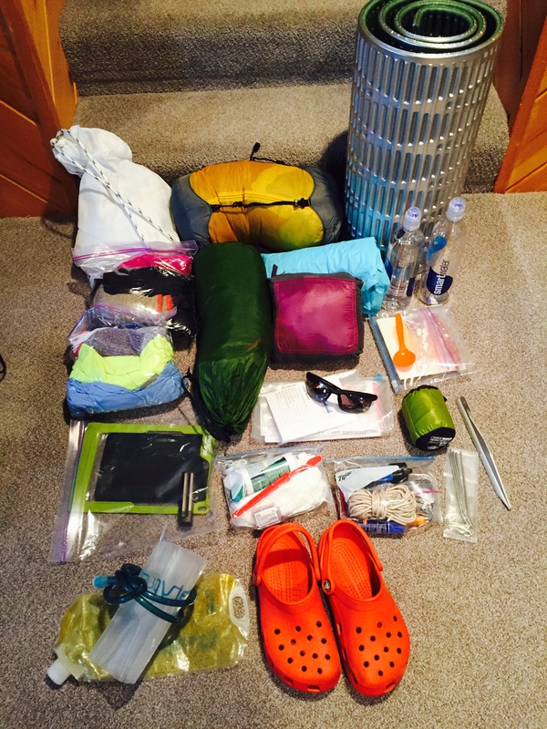
While preparing for my 2015 hike, I spent a lot of time on web forums and hiking groups, gathering information and advice. One of the biggest recurring themes was "You MUST be ultra-lightweight or you will NOT finish". People posted spread sheets of their gear with weights to the tenth of an ounce. Other people ripped their gear choices apart. There were endless debates over the pros and cons of two tents that had a 2 ounce difference between them.
Though I had lots of outdoor experience under my belt (including a thru-hike of the AT), I began to question my gear selections. Prior to the hike, I changed out my free standing tent for a lightweight. I left my air pad at home and brought a scaled down closed foam pad. I bought trail runners. I went stove-less.
In Kennedy Meadows, I joyfully ripped open my box with all my old gear that I had mailed from back home. Sure, maybe I was carrying 2-3 pounds more, but I was more comfortable. I slept better. I ate better. My feet were happy.
Base weight is just one factor in many that will affect your success in a thru-hike. For some, it may be the most important factor. For others, (including myself) other things are more important. I won't again make the mistake of putting other's opinions of gear ahead of my own personal gear preferences.
1) I WILL NOT STRESS OVER MY BASE WEIGHT
While preparing for my 2015 hike, I spent a lot of time on web forums and hiking groups, gathering information and advice. One of the biggest recurring themes was "You MUST be ultra-lightweight or you will NOT finish". People posted spread sheets of their gear with weights to the tenth of an ounce. Other people ripped their gear choices apart. There were endless debates over the pros and cons of two tents that had a 2 ounce difference between them.
Though I had lots of outdoor experience under my belt (including a thru-hike of the AT), I began to question my gear selections. Prior to the hike, I changed out my free standing tent for a lightweight. I left my air pad at home and brought a scaled down closed foam pad. I bought trail runners. I went stove-less.
In Kennedy Meadows, I joyfully ripped open my box with all my old gear that I had mailed from back home. Sure, maybe I was carrying 2-3 pounds more, but I was more comfortable. I slept better. I ate better. My feet were happy.
Base weight is just one factor in many that will affect your success in a thru-hike. For some, it may be the most important factor. For others, (including myself) other things are more important. I won't again make the mistake of putting other's opinions of gear ahead of my own personal gear preferences.
2) I WILL FILTER WATER FROM ALL SPIGOTS
You know how everybody gets sick in the winter, when we spend more time inside? I have found that on the trail, we all get sick in towns. Or campgrounds.
My biggest setback on the hike was when I contracted noro-virus. (No, I didn't have it officially diagnosed at a medical clinic. I've had noro-virus before, though. This was definitely it!) I got sick, not out in the wilderness where water is scarce and the sources are sketchy, but right after the Kennedy Meadows campground where I had stayed for a few days awaiting my beloved gear package.
The campground had ONE water spigot for everyone to use. Though I was always diligent about washing my hands prior to using the spigot, I cannot vouch for the other hikers there. (Especially since there was beer. Lots and lots of beer) The day after leaving the campground, I got sick.
I cannot be responsible for other's hygiene practices, but I can filter my water. Which I do now, religiously. Plus, my definition of a "sketchy" water source has changed significantly.
3) I WILL NOT TRY TO POST DAILY ENTRIES ON THE BLOG
On my previous thru hike, I had started the practice of blogging for family and friends at home to follow the hike. Basically, I posted my (cleaned up) journal entries when I got into towns so that those at home got a good sense of where I was and what a thru hike was like. I assumed I'd do the same on the PCT.
Two big obstacles were in my way: the blog platform changed so I had more of a challenge blogging from a phone. More importantly, both cell coverage and wi-fi were in short supply.
There is nothing more frustrating than spending 40 minutes typing a perfectly worded blog post with your thumbs only to see an endlessly spinning circle as your post does not load.
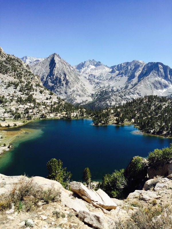
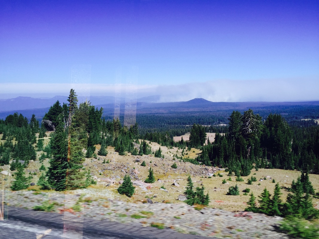
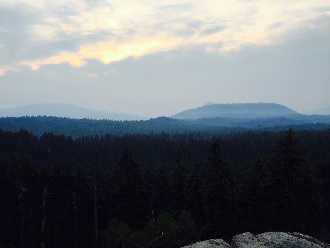
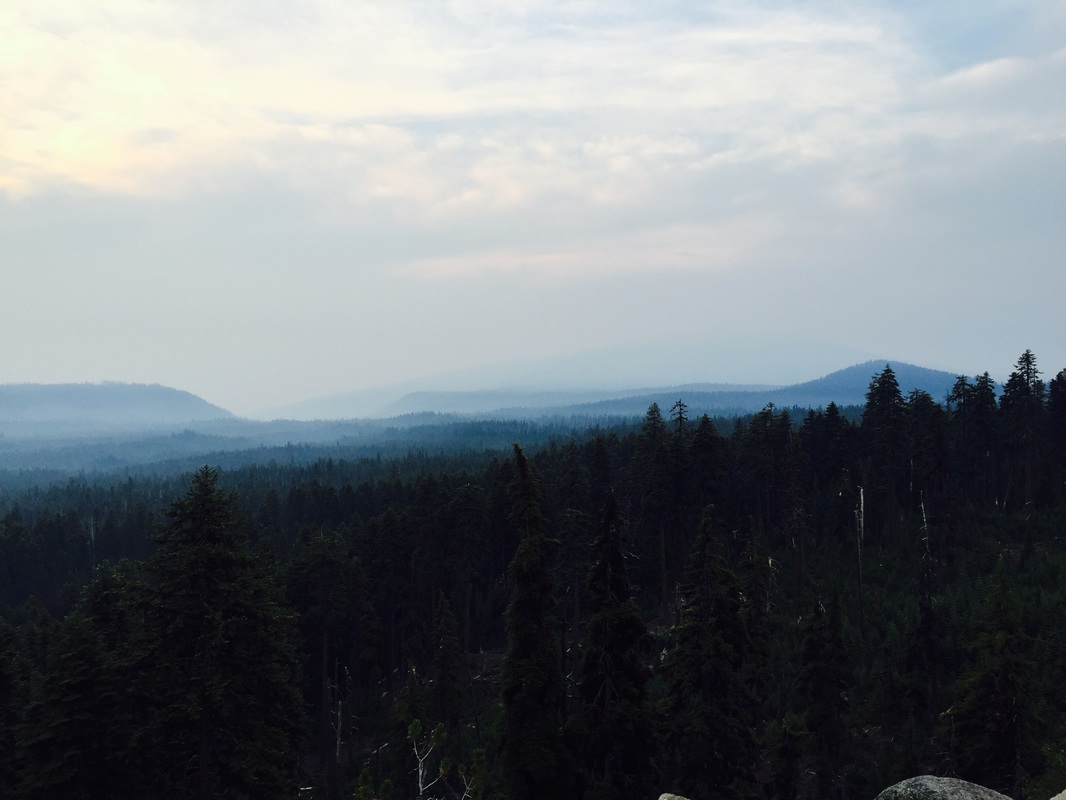
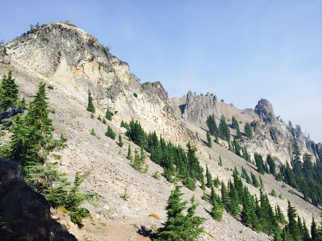
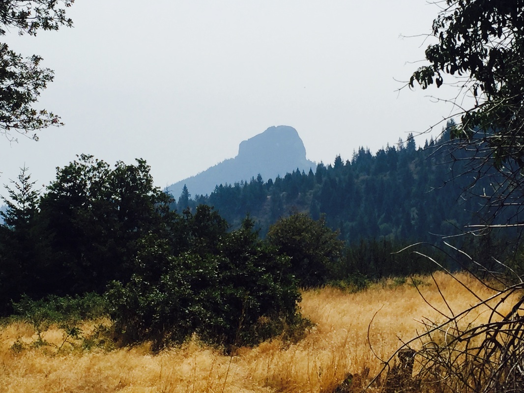
This time around, I'm not going to try to post daily entries. Instead, I'm going to do more photo dumps with short synopses of the hike. The PCT is more suited to that, anyway. The scenery is breathtaking!
On my previous thru hike, I had started the practice of blogging for family and friends at home to follow the hike. Basically, I posted my (cleaned up) journal entries when I got into towns so that those at home got a good sense of where I was and what a thru hike was like. I assumed I'd do the same on the PCT.
Two big obstacles were in my way: the blog platform changed so I had more of a challenge blogging from a phone. More importantly, both cell coverage and wi-fi were in short supply.
There is nothing more frustrating than spending 40 minutes typing a perfectly worded blog post with your thumbs only to see an endlessly spinning circle as your post does not load.
This time around, I'm not going to try to post daily entries. Instead, I'm going to do more photo dumps with short synopses of the hike. The PCT is more suited to that, anyway. The scenery is breathtaking!
4) I WILL BRING AN IPOD
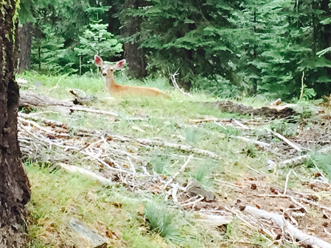
I generally do not listen to music when I hike. I prefer to listen to the birds, the animals, the wind in the trees. I find it more relaxing and invigorating.
There were some very long, tedious stretches on the PCT, especially in the desert sections. Long, treeless exposed sections where the sun beats down and the birds disappear and the little creatures take cover. Where there is nothing to break up the silence, other than the occasional buzzing-drone of a grasshopper. That's when you really need some music.
Since I generally don't listen to music, and since I was trying to cut down weight, I had decided to put all my music on my phone on the off-chance I needed it. So the good news is, I did have something to get me through the monotonous stretches. The bad news is, listening to music on the phone sucks down the battery pretty quick. Music also takes up a lot of storage space. So I found myself charging with the external charger and praying I made it to town before the battery died. Plus, I was spending valuable town-time removing things from my phone to have enough space for my maps, my apps, my pictures, and my music. (People with Andriods may not have this problem)
The bottom line is, an iPod weights just a few ounces and is well worth it to save the phone battery, free up storage space, and listen to the Red Hot Chilli Peppers in the Mojave.
5) I WILL STAY OFF OF WEB FORUMS IN TOWN
In the months before the PCT, I found the various web-forums and hiking groups to be a valuable source of information and encouragement as I prepared for the hike. On trail, I figured that these groups would be helpful for finding out about trail closures and conditions, fire updates, recommendations for lodging and food in upcoming towns, etc. I was correct in this assumption, to a degree.
There is one big problem with any internet based group: trolls. Even outdoorsy groups attract those angry, disillusioned souls who strive to make everybody else's day as miserable as their own. Fortunately, the percentage of trolls to kind-hearted helpful people is pretty low.
That percentage changes drastically once hiking season begins.
After late April, the vast majority of hikers are -- well -- hiking. Which leaves the internet to the trolls. It seems that every time I jumped on the internet to check trail conditions or get town recommendations, I was accosted by angry, rants about "entitled hikers" or stories about how much harder hiking was in the early 1970's. I wanted to check about fire closures, I was lambasted for using a Half Mile app. I wanted to see if a storm had knocked down trees in a section of trail, I was accused of being a pansy-ass.
It was very disheartening and it put me in a bad mood.
Finally, I figured out that PCTA.org had all the updates I needed without the angry rants. Plus, I went back to good, old fashioned recommendations from locals for accommodations. I was much happier for it.
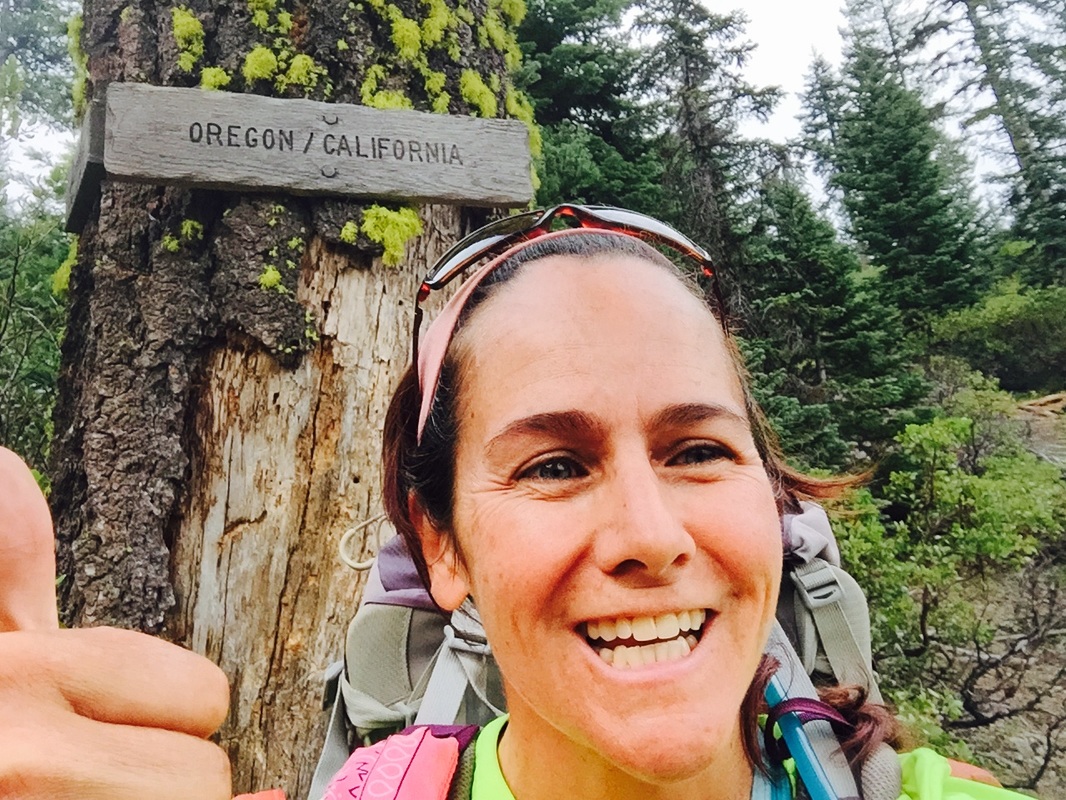
6) I WILL BRING A SELFIE-STICK
Before this hike, I would have looked at a display of selfie sticks and disdainfully thought "Who the hell needs a selfie stick?" Now I know. I need a selfie stick.
On the AT, I never had a problem finding somebody to take my picture. We tended to hike together in packs, helping one another up and down steep sections and rock scrambles. I was never alone on the AT.
The PCT is a different trail. It is more gently graded. Daily miles are longer. It is more well suited to hiking alone. And though I did have bubbles of hikers who I would hike with, I had longer and more frequent periods by myself. The PCT provides ample opportunities for solitude.
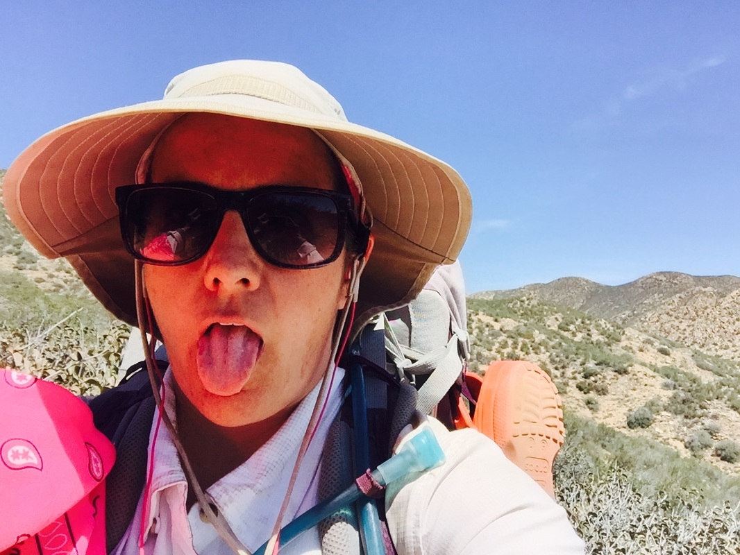
While that may be wonderful for self reflection, it is downright horrible for taking pictures. Especially when you have short arms, like I do. The pictures you imagined would have YOU with a beautiful scenic background in reality have YOU with a view right up your nostrils and no background whatsoever.
Next time, I'm bringing a damn selfie stick!
Before this hike, I would have looked at a display of selfie sticks and disdainfully thought "Who the hell needs a selfie stick?" Now I know. I need a selfie stick.
On the AT, I never had a problem finding somebody to take my picture. We tended to hike together in packs, helping one another up and down steep sections and rock scrambles. I was never alone on the AT.
The PCT is a different trail. It is more gently graded. Daily miles are longer. It is more well suited to hiking alone. And though I did have bubbles of hikers who I would hike with, I had longer and more frequent periods by myself. The PCT provides ample opportunities for solitude.
While that may be wonderful for self reflection, it is downright horrible for taking pictures. Especially when you have short arms, like I do. The pictures you imagined would have YOU with a beautiful scenic background in reality have YOU with a view right up your nostrils and no background whatsoever.
Next time, I'm bringing a damn selfie stick!
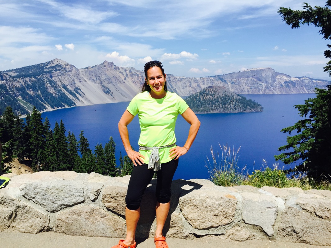
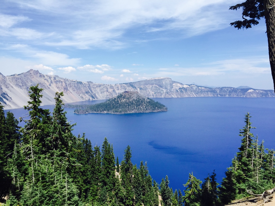
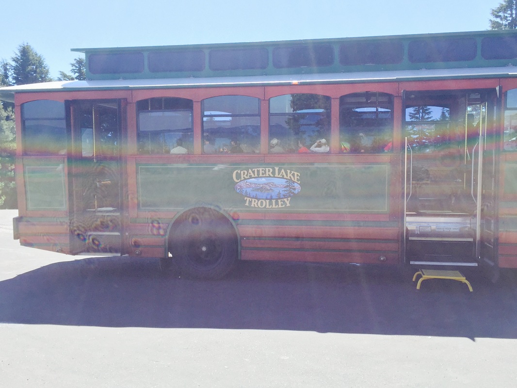
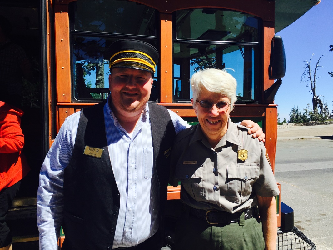
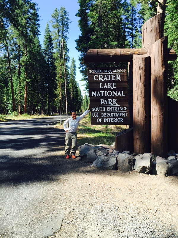
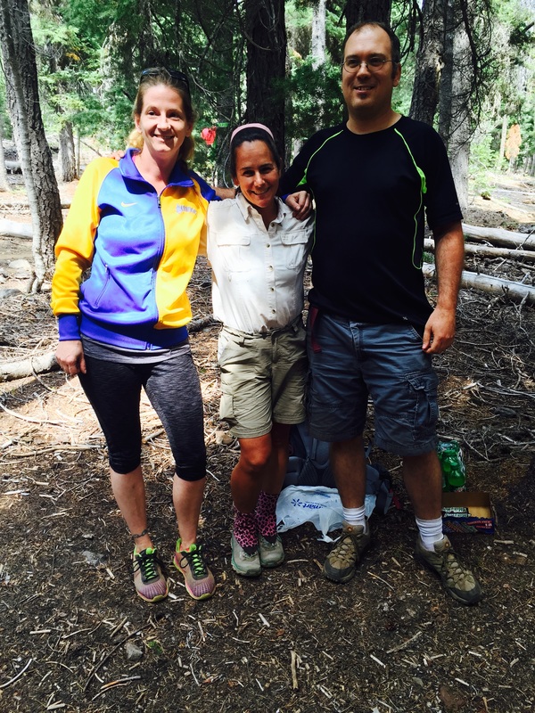
(there are lots of tourists to help with pictures in Crater Lake)
7) I WILL TEST THE APPS BEFORE HITTING THE TRAIL
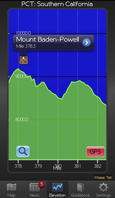
I am a big fan of both the Half Mile and Guthook apps for the PCT. Which probably makes me an entitled pansy-ass, but that's ok. These apps are great! They provide both GPS and map coverage of the upcoming sections of trail. Guthook has an elevation profile. Half Mile is free. I used both extensively on my hike.
I was not using either to its fullest potential, however. I had been on the trail weeks before somebody showed me how to enable the satellite version of the maps on Guthook. I was unaware that you could add notes until even later than that!
In retrospect, I probably should not have simply downloaded the apps and not looked at them again until I was hiking. There's a lot to be said for spending an afternoon becoming familiar with your navigation tools.
8) I WILL SLOW DOWN
Hiking is not a competitive sport. It's more like a collaborative effort. Unless you are trying to set the record for fastest thru-hike (something I have no chance in hell of ever doing) there is no need to rush. And yet, when I'm on the trail, I always have a sense of urgency in the back of my mind. "Have to get my 20 miles in, have to get my 20 miles in." "I should be doing 25-30 miles a day by now!" "OK, that's a long enough break. Gotta get those miles in." Sometimes my brain on trail is a little like a drill sergeant.
Seriously, what would happen if I hiked 18 miles rather than 20? Or decided 25 miles was plenty instead of pushing for 30? Or if I decided to spend and entire afternoon by a lake? What would happen? I'd spend a half day less in town. Or I'd finish a week later than I had planned.
We go out into the wilderness to get away from the pressures and competitiveness of society. Yet its far too easy to fall into that trap of rushing from town to town, trying to stay on an itinerary, or trying to keep up with that group of speed hikers.
This is something I struggle with. It's something I'll try to be be more mindful of next time around.
9) I WILL BRING A SPOT
Until now, I have resisted the urge to bring a SPOT. Partially because I'm not an entitled pansy-ass, but mainly because it just seemed like one more unnecessary thing to carry. It always seemed much smarter to do my best to avoid dangerous situations than to be more reckless while carrying and SOS device. Plus, for the friends and family at home who wished to have a pre-determined itinerary of where I'd be at all times on my hike, I thought it would do them some good to have a little uncertainty in their lives.
But the PCT has limited cell coverage. I'd go for long stretches of time without a way to check in with folks back home. As a result, there were a few times when I spent entire town visits talking people down from figurative ledges and explaining over and over how cell phone coverage is not universal, no matter what the map at Verizon shows.
Next time around, I'll carry a device that allows friends and family to track my progress online. They'll have a little peace of mind, and I'll be able to spend my town time drinking beer.
10) I WILL TAKE MORE SIDE TRAILS
Thru-hiking tends to make you single minded. Each mile hiked should be a mile that gets you closer to your destination. Gotta get those miles in!
Then you notice how much the PCT meanders. How many switchbacks there are. How the trail seems to go so very close to water, and then veer away. It can become frustrating.
There is a wonderful solution to this frustration: side trails. Both Half Mile and Gut Hook list many side trails in their apps, and once I started venturing down the side trails, I never looked back!
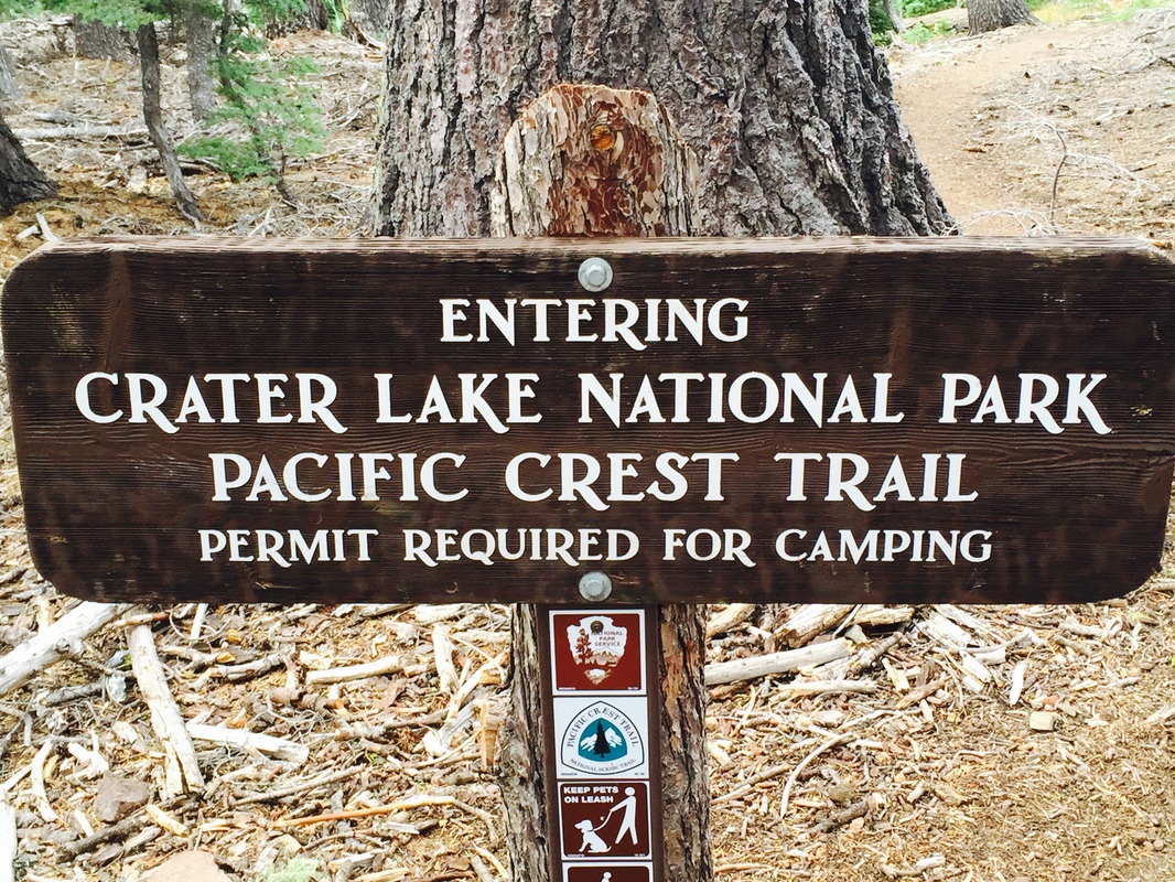
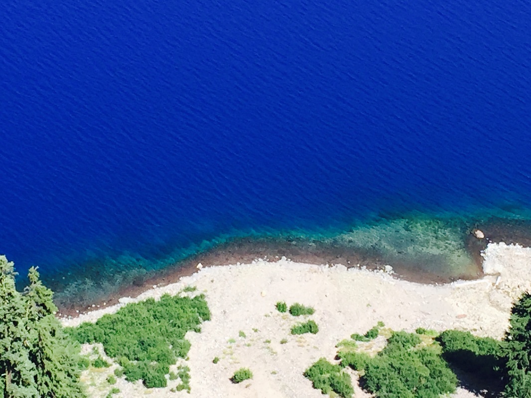
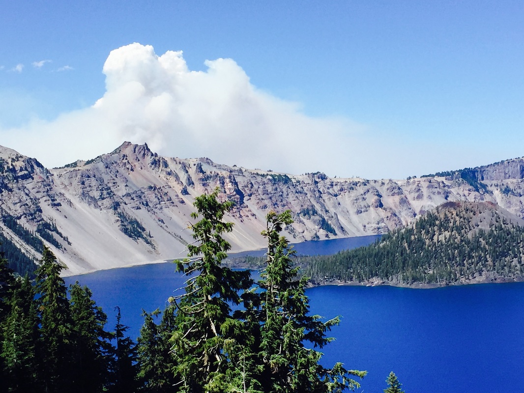
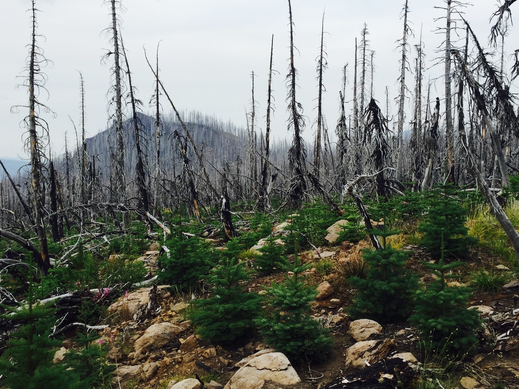
Most of the side trails I took were the same milage as staying on the PCT. They tended to be a little steeper, but also passed more water sources. And it's on the side trails that I saw steam vents, boiling springs, and even Crater Lake! (The official PCT does not actually go to the rim of the lake, though I have yet to meet a single person who did not take the Rim Trail. That one's a no-brainer) The passes I took to towns in the Sierra contained some of the most beautiful scenery of the whole trip, though not on the official PCT. The Sky Lakes Alternate trail was positively breathtaking.
In hiking, and in life, it's the detours that are sometimes the most memorable. Next year on the PCT, I plan to take every side trail I can!
Thru-hiking tends to make you single minded. Each mile hiked should be a mile that gets you closer to your destination. Gotta get those miles in!
Then you notice how much the PCT meanders. How many switchbacks there are. How the trail seems to go so very close to water, and then veer away. It can become frustrating.
There is a wonderful solution to this frustration: side trails. Both Half Mile and Gut Hook list many side trails in their apps, and once I started venturing down the side trails, I never looked back!
Most of the side trails I took were the same milage as staying on the PCT. They tended to be a little steeper, but also passed more water sources. And it's on the side trails that I saw steam vents, boiling springs, and even Crater Lake! (The official PCT does not actually go to the rim of the lake, though I have yet to meet a single person who did not take the Rim Trail. That one's a no-brainer) The passes I took to towns in the Sierra contained some of the most beautiful scenery of the whole trip, though not on the official PCT. The Sky Lakes Alternate trail was positively breathtaking.
In hiking, and in life, it's the detours that are sometimes the most memorable. Next year on the PCT, I plan to take every side trail I can!
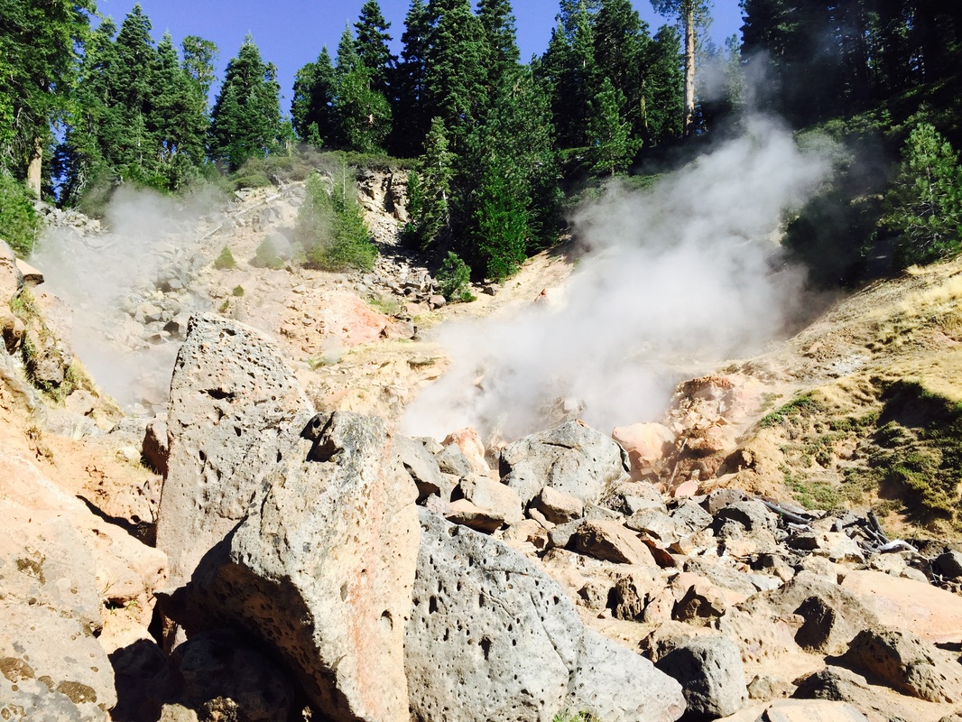
Steam vent down a side trail in Lassen Volcanic National Park
Until next time: Peace, love and trail magic!
Until next time: Peace, love and trail magic!

 RSS Feed
