heather hikes
  • LIfe on the trail
  • Home
  • About
  • Cool Causes
  • Where I am now
  • Milage

Northern Arizona

4/12/2018

0 Comments

 
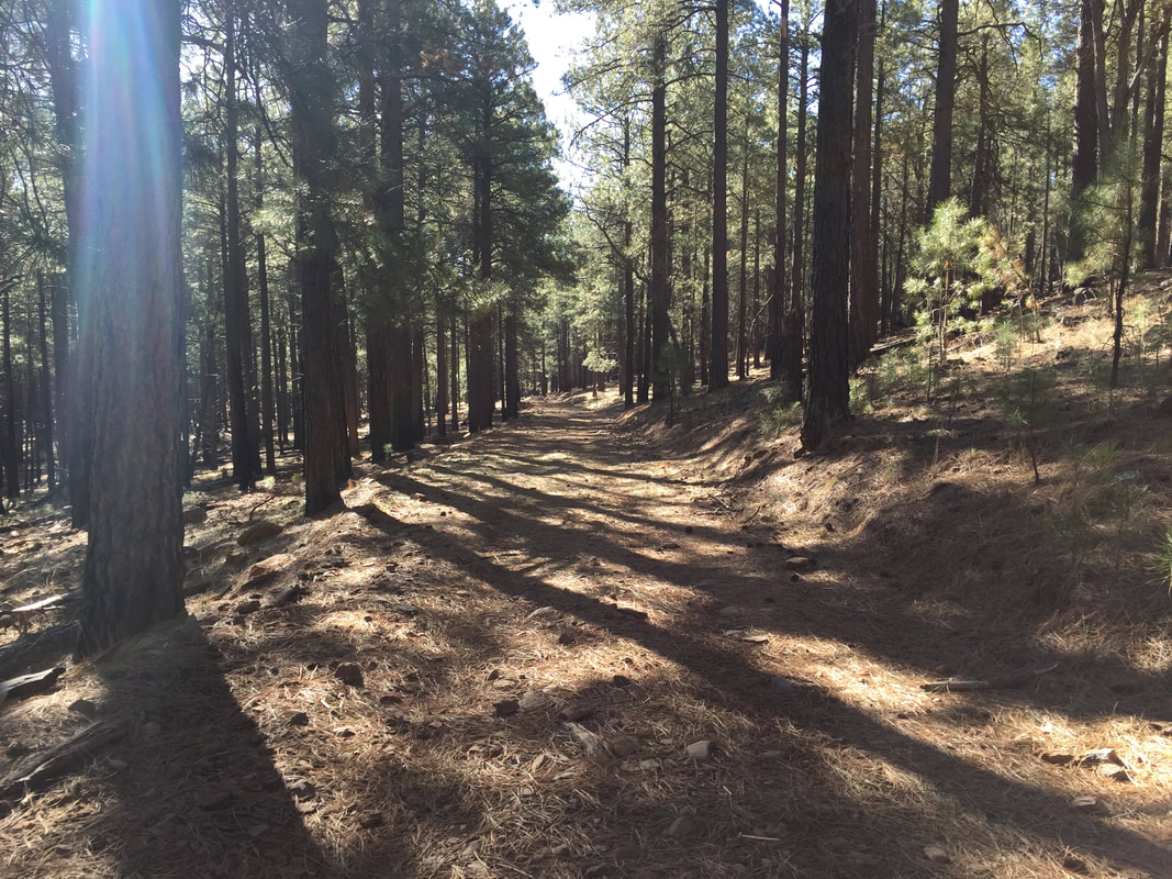
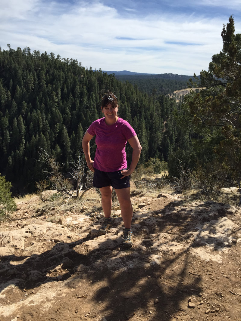
Northern Arizona is significantly different than southern Arizona. The hiking is completely different, too. For some reason, I was expecting northern Arizona to be more difficult. I figured that since I was climbing up and staying up in elevation, it would be much harder. Turns out, the opposite was true. Once the trail gets up to 7000 feet in the northern Arizona section, it stays up. So gone are the steep ups and downs, slides into narrow canyons, and grueling slogs in the sun. Instead, the northern Arizona section winds through the trees, with soft duff beneath your feet, with reliable water sources. 
Picture
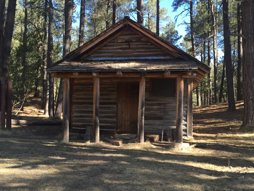
The first day out of Pine, in the Blue Ridge section, the trail passes a historic cabin (General Springs Historic Cabin), parallels General Cook Trail for a while ( a wagon supply route for Fort Apache) and crosses near a historic monument (Battle of Big Dry Wash). So in addition to hiking, you could be playing cowboys and indians in your head. 
Picture

When in the forest, its true that the views are not as spectacular, there is  definitely a different  energy. Maybe its just love emanating from the trees.  I quite enjoy it. Plus, the trees offer a bit of sun protection, so the hiking is a bit easier. All in all, it made for quick, easy, enjoyable hiking. 
Picture

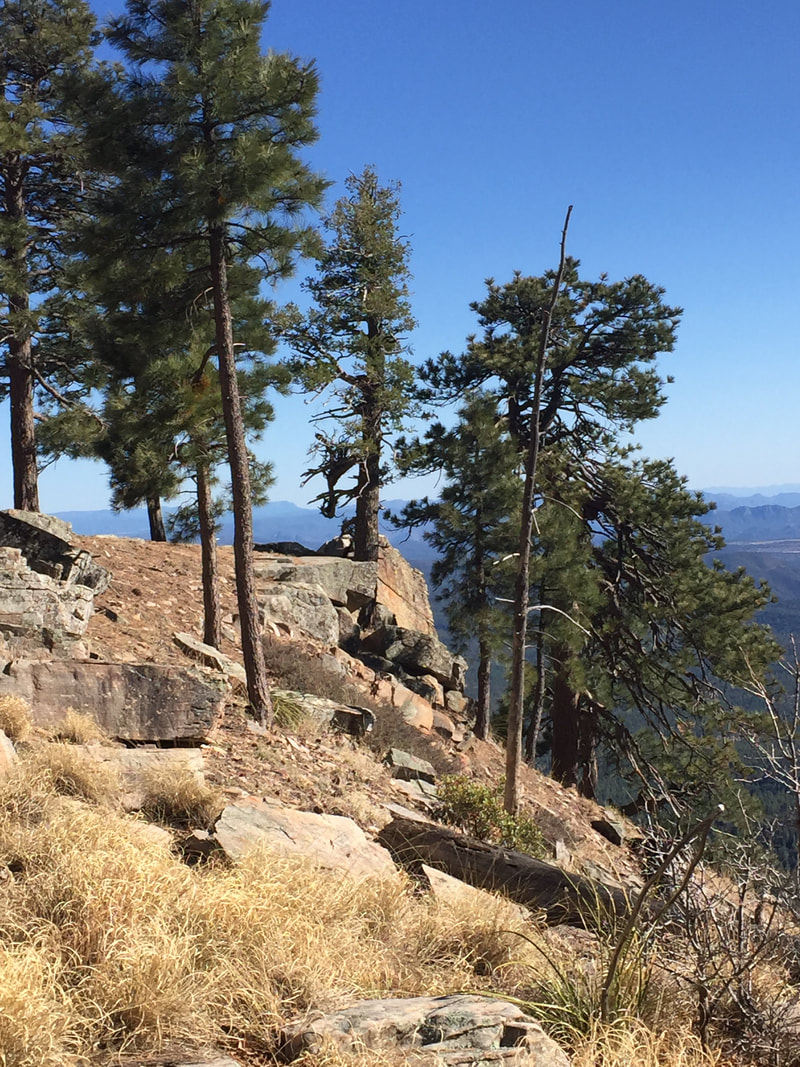
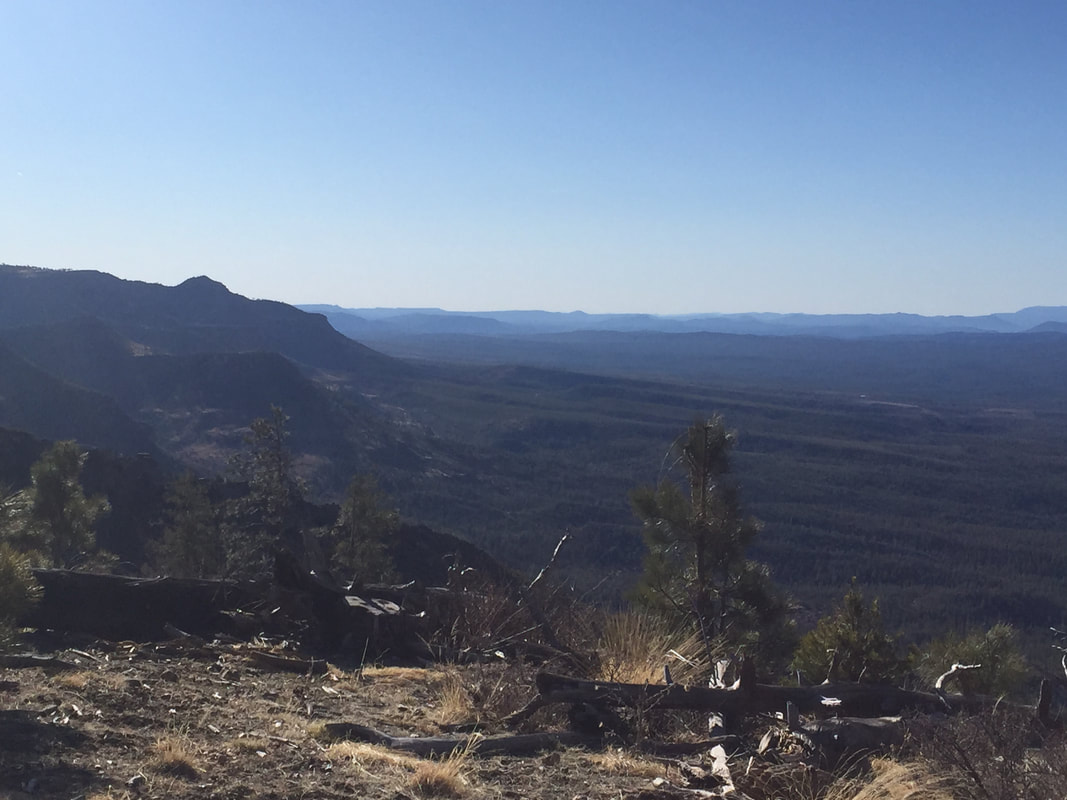
The whole leapfrogging with the car scenario was really great and really ridiculous at the same time. Great because I was still meeting lots of people and doing little side trips to see the nearby historical sites and views from Mogollan Rim. Ridiculous, because the forest road drives between trailheads were often 3 times longer than the hike between trailheads. (ON the AT and PCT the opposite was true). No matter. It was still super fun. 

​
Picture
In this easier, cooler, shady section, I also started to do a little bit of running. Since I only had the daypack, there wasn't as much weight to worry about. It felt really good- I hadn't been able to run since I twisted my knee at the gym before Christmas. But it seems that hiking all day does wonders!  So I walk/ran through Happy Jack and Mormon Lake.

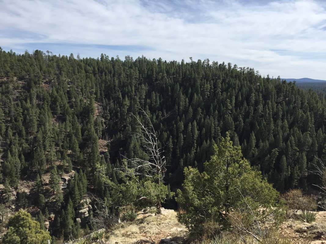
Just south ( and east) of Flagstaff was Walnut Canyon.  Such spectacular views!  The resupply route of the trail veers west and goes into Flag, taking an urban route through the streets. But since I had a car for resupply, I could stick to the canyon and get more of the great views. I enjoyed Walnut Canyon so much that I went to the nearby national monument and checked out the cliff dwellings.  
Picture
Picture

And then it was into Flagstaff and into April.
0 Comments


Leave a Reply.

    Heather

    Hi, I'm Heather, AKA "Pink Lady". Welcome to my blog.  I'm so excited to share my adventures as I embark on a thru-hike of the Pacific Crest Trail.  
    While you're here, be sure to check out  the charity I'm hiking for: Devoted2Children a  great organization which funds a home for orphaned children in Haiti. 

    Archives

    November 2015
    October 2015
    September 2015
    August 2015
    July 2015
    June 2015
    May 2015
    April 2015
    March 2015
    November 2014
    May 2014
    April 2014
    November 2013
    October 2013
    September 2013
    August 2013
    July 2013
    June 2013
    May 2013
    April 2013
    March 2013

    Categories

    All
    Adaptive Sport
    Hiking Recap
    Preparation
    Rock Stars
    Trail Peeps
    Training

    RSS Feed

    Where I am
Powered by Create your own unique website with customizable templates.
Photo used under Creative Commons from symphony of love